

Experience
Work we’ve delivered
Cities, water districts, federal installations and commercial publishers. Client names are withheld; references are available on request. Some projects were delivered as a subcontractor on a prime consultant’s team.
Local government
Cities and counties
Full technical support for a city’s enterprise GIS, wherever it needs it: we design, build and configure ArcGIS Enterprise in Azure, AWS or the city’s own data center, integrate it with parcel, permitting and work-order systems, and write the Python that keeps everything in sync, then stay on to run it.


A medium-sized city’s own ArcGIS Enterprise, built in Azure from scratch
A fast-growing, medium-sized city of about 70,000 in Riverside County had outgrown ArcGIS Online and wanted its own enterprise GIS without buying servers. We designed and built a multi-tier ArcGIS Enterprise platform in the city’s Azure subscription, documented it, and have run it since go-live.
What we did
- Designed tiered subnets with network security groups, dedicated VMs for Portal, Server, Data Store and Web Adaptor, and an Azure SQL enterprise geodatabase with Entra ID sign-in
- Delivered GPU virtual desktops for ArcGIS Pro through Azure Virtual Desktop, so analysts work from any city laptop
- Upgraded in place from 12.0 to 12.1 and added ArcGIS Urban, Survey123, Web Styles and GeoBIM
- Wrote and maintain a full as-built documentation set for city IT
Results
- Live shortly after kickoff, with daily geo-redundant backups
- All ArcGIS org items upgraded seamlessly to 12.1, with no interruption for users
- A cost review replaced the file-server VM with Azure Files, projected to cut storage costs about 94%, and consolidated the GPU desktops onto one host
ArcGIS Enterprise 12.1Microsoft AzureAzure SQLAzure Virtual DesktopEntra IDArcGIS UrbanPowerShell
Modernizing a small city’s GIS and work-order platform
A small San Diego County city’s GIS and asset-management systems ran on end-of-life servers: ArcGIS Server 10.6.1 and a six-year-old work-order system. We assessed the stack, right-sized the hosted servers, and built a new platform.
What we did
- Modernized the GIS behind Cityworks: a new ArcGIS Enterprise 11.5 platform and a rebuilt geodatabase for the city’s asset layers
- Upgraded Trimble’s Cityworks from 15.5 to 23.13 in staged releases (15.8 and 23.2 along the way), moving its database to SQL Server 2022
- Connected Cityworks to ArcGIS Enterprise with OAuth, and added Microsoft Graph email for notifications and password resets
- Converted about 26,000 activity records to the new coordinate system
Results
- Every work order and all 8,140 attachments (9.3 GB) carried over and verified
- Map printing and system email restored; the provider accepted every sizing increase we specified
ArcGIS Enterprise 11.5Trimble’s Cityworks 23Office CompanionMicrosoft GraphOAuthSQL Server 2022CitrixT-SQLPowerShell
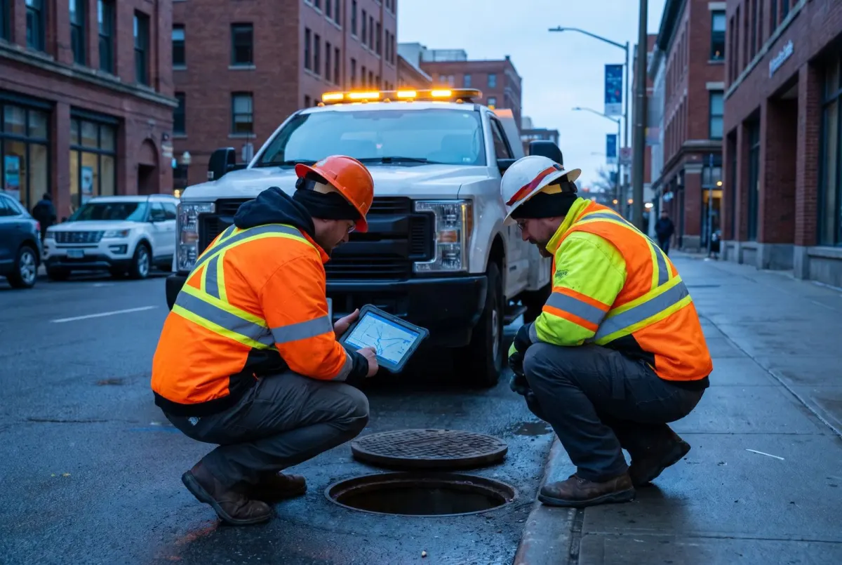


Building and running a city’s on-premises ArcGIS Enterprise
A small San Bernardino County city needed its own ArcGIS Enterprise to feed its permitting and code-enforcement systems, and its parcel and address data had fallen out of date.
What we did
- Built the city’s ArcGIS Enterprise deployment, with Portal, Server and a SQL Server enterprise geodatabase on its own Hyper-V servers
- Connected Accela permitting and GoGov code enforcement to live GIS layers
- Rebuilt the county parcel and assessor pipeline on the county’s secured service
- Audited 423 online and 369 portal items, finding broken maps and the layers consuming most of the org’s credits
Results
- Permitting and code enforcement both run on live GIS layers we publish
- Parcels refreshed with current owners, 2026 assessed values, zoning and trash days; 217 placeholder addresses removed
- Later upgraded the whole stack from 11.1 to 11.5 in one weekend, with no rollback
ArcGIS Enterprise 11.5SQL Server 2022Hyper-VAccelaGoGovPythonT-SQL
Building and running a city’s ArcGIS platform on AWS
A medium-sized San Diego County city runs its public-works GIS in its own AWS account. We wrote the implementation plan and built the current platform, migrating from a legacy Windows Server 2016, ArcGIS 10.9.1 and SQL Server 2017 server.
What we did
- Built the new EC2 platform on Windows Server 2022, ArcGIS Server 11.1 and SQL Server 2022, moving services and users without breaking the Cartegraph asset-management integration
- Added three GPU-powered Amazon WorkSpaces desktops for ArcGIS Pro in the same network, and moved ArcGIS Pro off the production server
- Fixed server-wide stalls by re-tuning 190 map services, and automated weekly geodatabase maintenance in Python
- Applied security and Web Adaptor patches, renewed SSL, and assessed public data exposure with a remediation plan
Results
- The platform we built now serves about 226 map and feature services from a 164 GB enterprise geodatabase
- About 98% fewer morning time-outs after the tune-up
ArcGIS Server 11.1Amazon EC2Amazon WorkSpacesSQL Server 2022PythonCartegraph


On-call GIS with one authoritative parcel layer
A small Los Angeles County city needed an on-call GIS administrator to keep county parcel data current, publish public-safe maps and support its permit platform, without in-house GIS engineering.
What we did
- Built a monthly Python pipeline that loads the county assessor export, cleans and validates it, fixes mailing ZIP codes and keeps the city’s own edits
- Audited and untangled about 325 org items, repointing maps to the new views
- Rebuilt permit-platform access through a dedicated least-privilege account and purpose-built view layers
Results
- Parcels refreshed and published every month
- The pipeline stops itself if the parcel count shifts more than 3%, and backs up the live layer before every load
ArcGIS OnlinePythonArcGIS API for PythonMyGovernmentOnlineExperience BuilderStoryMaps
Field and dashboard apps in one week
A San Diego County city had no way to see where its contracted power-washing crews had worked, what staff had inspected, or what obstructions were in the way.
What we did
- Mapped a four-role workflow (office staff, contractors, city inspectors and the public) and designed the data model around what each role needs
- Built two Field Maps apps, one for contractors and one for city inspectors, a QuickCapture app for point-and-shoot obstruction reports, and an Experience Builder dashboard on ArcGIS Online
- Locked assignment and approval fields so contractors update only their own status, notes and photos, and inspectors sign off
- Planned photo retention up front so ArcGIS Online storage credits don’t creep up
Results
- Proof of concept delivered in about one week, with apps shared by QR code
- One dashboard shows areas not done, washed and approved, plus obstructions
- Well received by city staff, who asked to expand into a second phase with work history, scheduled Python automation and a time-slider viewer
Field MapsQuickCaptureExperience BuilderArcGIS Online
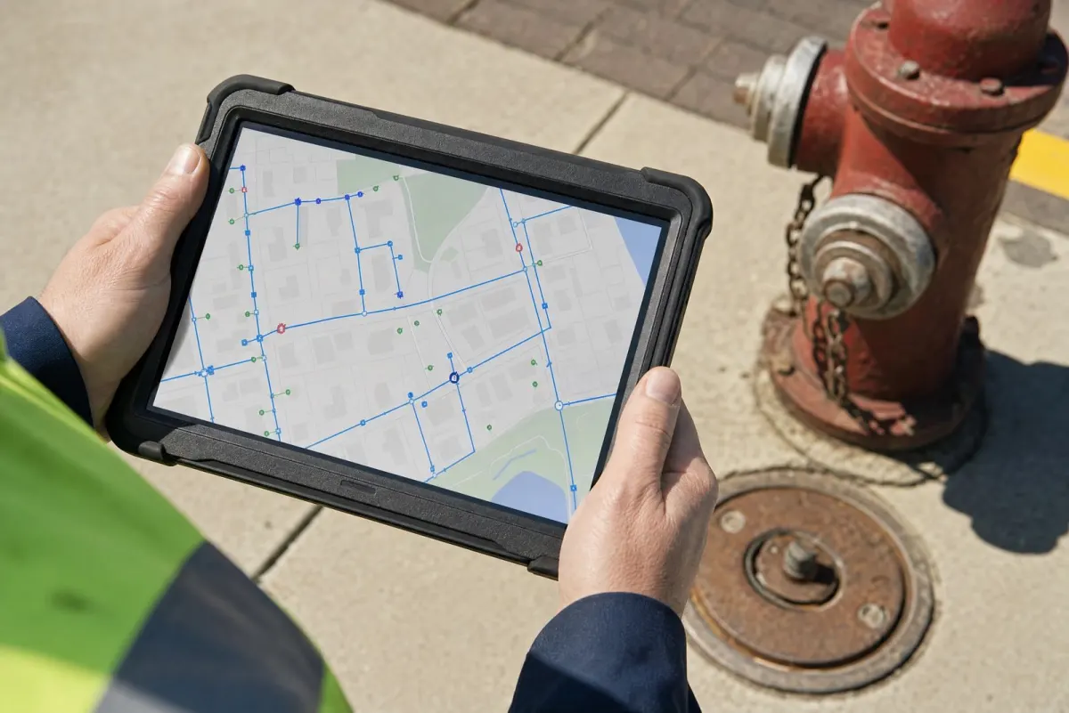

Water & special districts
Water, wastewater and recycled water
Plans and data that help districts manage aging networks and make the case for investment.
A five-year GIS roadmap for a water district
A Southern California water, wastewater and recycled-water district serving more than 100,000 residents had two decades of GIS investment but no governance, aging software, and production data with no disaster recovery. As solutions architect on a two-firm team, we assessed the program and co-authored the roadmap.
What we did
- Surveyed and interviewed five departments, with about 80 survey responses and onsite workshops
- Assessed every server and software version, and benchmarked four peer districts
- Recommended governance, a three-point QA/QC model, a GIS staffing role and a staged path from Geometric Network to Trace Network to Utility Network
Results
- Final roadmap delivered in three phases over five years, with no new hardware required
- The district posted a new GIS Supervisor position the day the final report arrived
ArcGIS EnterpriseArcGIS ProUtility Network planningData ReviewerSQL Server


Six years of leak records, one map-based dashboard
A regional water district had six years of leak records scattered across work-order exports and a legacy GPS layer, with no consistent way to map them or tie them to pipes.
What we did
- Designed one leak data model with a data dictionary and crosswalk in the district’s SQL Server enterprise geodatabase
- Built a reusable Python toolbox that loads Infor work-order exports and matches each leak to its pipe or valve across potable, recycled and non-potable systems
- Supported an Experience Builder dashboard where Operations and Engineering filter leaks by cause, pipe material, diameter, age and area
Results
- Delivered on a 12-week fixed-price schedule, with training and full documentation
- A later tuning pass cut dashboard network requests by 76%
- Staff confirmed the dashboard met operational requirements
ArcGIS ProPython toolboxSQL ServerExperience BuilderInfor
Federal
D.O.D. Installations
Installation data built to SDSFIE and Navy Data Model standards, with automated QC before delivery.
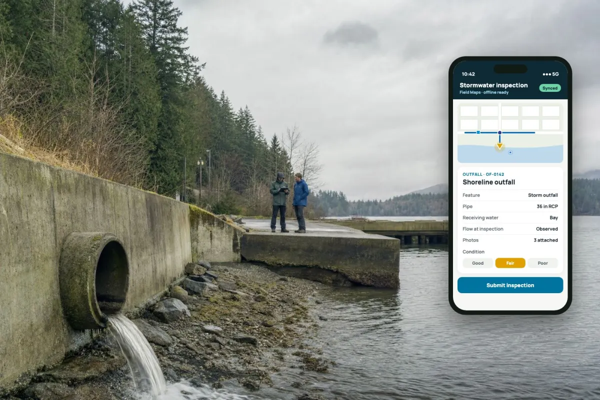
A stormwater inventory for 16 Naval installations
Stormwater infrastructure across 16 Naval installations with hundreds of facilities existed mostly as scanned as-built drawings. As project manager and technical lead, we led a five-analyst team that built the region’s first complete stormwater GIS.
What we did
- Mined more than 7,600 as-built source files, some over 80 years old, and georeferenced more than 1,000 drawings
- Collected and attributed features in the field and the office, migrating mid-project from Navy Data Model 4.2 to 4.3 without restarting collection
- Built 3D-enabled data checked against LiDAR, and ran 55 Data Reviewer checks per layer
Results
- 48,084 stormwater features across 31 data layers
- LiDAR-derived elevations matched recent as-builts within ±0.15 ft on average
- All 10 contract deliverables completed and delivered
SDSFIENavy Data Model 4.3Data ReviewerArcGIS EnterpriseField MapsLiDAR


A survey-grade control network across eight installations
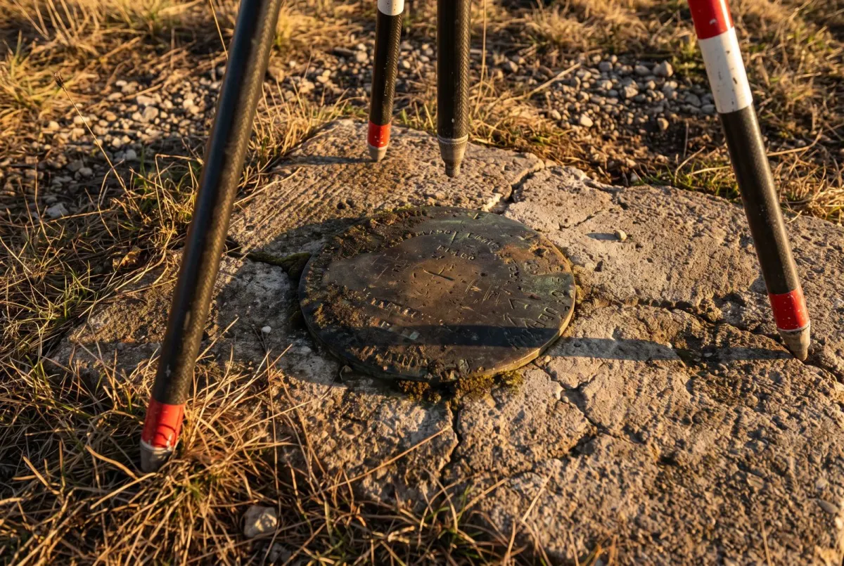
The control monuments behind every survey, construction project and map on the Navy’s installations were recorded only on decades-old drawings. We managed a GPS field team and a state-licensed land surveyor through research, recovery, new monument setting and survey.
What we did
- Researched more than 600 candidate monuments from historical control drawings
- Ran static and RTK GNSS surveys with Trimble R12i receivers, post-processed through NGS OPUS
- Delivered the network to SDSFIE and Navy Data Model 4.3, and trained Navy staff on the equipment
Results
- Scope grew from 3 to 8 installations inside the original 12 months
- Every field note approved by a Washington-licensed land surveyor
- 55 automated Data Reviewer checks, all passed
Trimble R12iTrimble Business CenterNGS OPUSSDSFIEData Reviewer
Commercial
Map and data publishers
Production automation and digital products for publishers of county plat books and land atlases.


Plat books and land atlases, built by tool instead of by hand
County plat books and land atlases were built by hand, one county at a time, with thousands of owner, acreage and resident labels placed manually for every edition. For two long-established publishers, we built national base data and a Python and ArcPy production toolchain that takes a county from raw parcels to print-ready pages.
What we did
- Built a national base geodatabase from current federal sources: 3,144 counties in all 50 states and DC, with roads, water, PLSS sections and imagery
- Created an update-edition engine that carries forward the prior edition’s labels and places new ones only where parcels or owners changed
- Automated township pages, city maps, wall maps and print-ready PDF export, and ported the tools toward ArcGIS Pro
Results
- Update editions carry forward 70–90% of the prior edition’s labels; parcel labels match 99.7% of the time
- Per-county upload to the national database cut from 60–90 minutes to 7–10 minutes, with automatic backup and rollback
- One publisher produced 20 new counties in a single year on the toolchain, opening states it had never covered
ArcPyPython toolboxesMaplexFile geodatabaseCensus TIGERBLM PLSSNAIP
Taking a print publisher digital
A county plat-book publisher wanted its printed landownership maps to become a paid digital product. We built the platform end to end.
What we did
- Built a custom JavaScript web map and iOS and Android apps on Esri technology, with tiered access and per-county subscriptions
- Automated nationwide parcel, resident and advertiser data pipelines with GDAL and ArcPy
- Added online checkout and in-app purchases, a managed user portal, and later moved hosting to ArcGIS Enterprise 11.1
Results
- More than 3,100 county parcel layers in one national service
- About 1.5 million resident addresses geocoded and returned to the print team
- About 3,000 subscribers moved onto a managed user portal; the platform served paying customers for about four years
ArcGIS Maps SDK for JavaScriptArcGIS Enterprise 11.1iOS & AndroidGDALPythonStripe


Before Terran
Before founding Terran, our principal spent two decades building and running enterprise GIS for defense, government and industry:
- Led database administration for the ArcGIS Maritime and Production Line Tool Set teams, behind nautical charting production
- Ran the Marine Corps’ Western Regional Geospatial Data Center: 7 analysts, 400+ ArcGIS users and 50+ high-availability enterprise geodatabases
- Built the Real Estate Summary Map and cadastral inventory at MCAS Yuma, Marine Corps real property inventory, and NEPA process automation
- Led the Marine Corps SDSFIE data model adaptation, emergency operations GIS and readiness-focused QC
- Ran a high-availability SQL Server enterprise geodatabase serving hundreds of city staff and the public
- Delivered multi-tier ArcGIS Enterprise, PostgreSQL/PostGIS databases and web and mobile GIS for Navy and commercial clients
Tools we work in
Esri platform
- ArcGIS Pro
- ArcGIS Enterprise & Online
- Field Maps & Survey123
- Experience Builder & Dashboards
Data
- SQL Server, Oracle, PostgreSQL
- Enterprise geodatabases
- SDSFIE & local data models
- QGIS & GDAL
Development
- Python (ArcPy, ArcGIS API for Python)
- JavaScript (ArcGIS Maps SDK)
- Mobile (native iOS & Android apps)
- SQL (T-SQL & PL/SQL)
Have a similar project?
Tell us what you’re working on and we’ll tell you how we’d approach it.